- Region
- Águilas
- Alhama de Murcia
- Jumilla
- Lorca
- Los Alcázares
- Mazarrón
- San Javier
-
ALL AREAS & TOWNS
- AREAS
- SOUTH WEST
- MAR MENOR
- MURCIA CITY & CENTRAL
- NORTH & NORTH WEST
- TOWNS
- Abanilla
- Abarán
- Aguilas
- Alamillo
- Alcantarilla
- Aledo
- Alhama de Murcia
- Archena
- Balsicas
- Blanca
- Bolnuevo
- Bullas
- Cañadas del Romero
- Cabo de Palos
- Calasparra
- Camping Bolnuevo
- Campo De Ricote
- Camposol
- Canada De La Lena
- Caravaca de la Cruz
- Cartagena
- Cehegin
- Ceuti
- Cieza
- Condado de Alhama
- Corvera
- Costa Cálida
- Cuevas De Almanzora
- Cuevas de Reyllo
- El Carmoli
- El Mojon
- El Molino (Puerto Lumbreras)
- El Pareton / Cantareros
- El Raso
- El Valle Golf Resort
- Fortuna
- Fuente Alamo
- Hacienda del Alamo Golf Resort
- Hacienda Riquelme Golf Resort
- Isla Plana
- Islas Menores & Mar de Cristal
- Jumilla
- La Azohia
- La Charca
- La Manga Club
- La Manga del Mar Menor
- La Pinilla
- La Puebla
- La Torre
- La Torre Golf Resort
- La Unión
- Las Palas
- Las Ramblas
- Las Ramblas Golf
- Las Torres de Cotillas
- Leiva
- Librilla
- Lo Pagan
- Lo Santiago
- Lorca
- Lorquí
- Los Alcázares
- Los Balcones
- Los Belones
- Los Canovas
- Los Nietos
- Los Perez (Tallante)
- Los Urrutias
- Los Ventorrillos
- Mar De Cristal
- Mar Menor
- Mar Menor Golf Resort
- Mazarrón
- Mazarrón Country Club
- Molina de Segura
- Moratalla
- Mula
- Murcia City
- Murcia Property
- Pareton
- Peraleja Golf Resort
- Perin
- Pilar de la Horadada
- Pinar de Campoverde
- Pinoso
- Playa Honda
- Playa Honda / Playa Paraíso
- Pliego
- Portmán
- Pozo Estrecho
- Puerto de Mazarrón
- Puerto Lumbreras
- Puntas De Calnegre
- Region of Murcia
- Ricote
- Roda Golf Resort
- Roldan
- Roldan and Lo Ferro
- San Javier
- San Pedro del Pinatar
- Santiago de la Ribera
- Sierra Espuña
- Sucina
- Tallante
- Terrazas de la Torre Golf Resort
- Torre Pacheco
- Totana
- What's On Weekly Bulletin
- Yecla


- EDITIONS:
 Spanish News Today
 Alicante Today
 Andalucia Today
article_detail
The history of the Lentiscar area of Cartagena
La Puebla, Los Beatos and El Carmolí are the main villages in this part of Cartagena
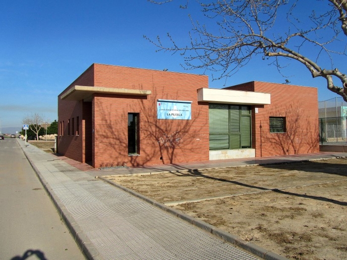
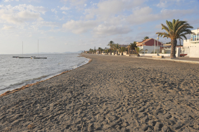
 The “diputación” (or administrative sub-division) of Lentiscar in Cartagena is one of the largest in the municipality in geographical terms, but one of the least populated for most of the year. However, during the summer the number of people here swells as visitors flock towards the coastal zones of El Carmolí and Punta Brava. The inland villages of Los Beatos and La Puebla, on the other hand, reflect the rural and agricultural nature of most of Lentiscar, and it is here that most of the social services and facilities are located.
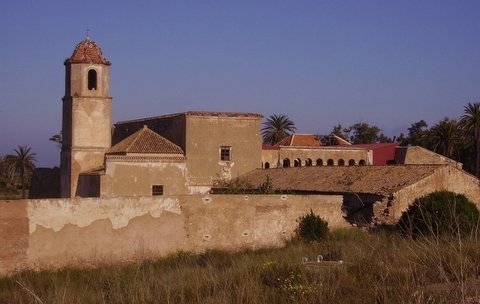 The recorded history of Lentiscar doesn’t begin until the 16th century, but it is known that the Roman road which ran along the Mediterranean coast from Cartagena to Tarragona passed through the area. Other communications routes led to the old monastery of San Ginés de la Jara, and it is probable that there was a scattered rural population in Lentiscar throughout the Middle Ages.
The name of the Diputación derives from the lentisco bushes which thrived here, and this plant was exploited in the past to provide firewood, coal and a resin which was used to make fuel and cooking oil.
By 1585 references are made in official documents to the Torre del Moro (or Torre del Negro), formerly known as the Torre del Arraez, a watchtower which was built to warn the local population of approaching Berber pirate raids, and these same incursions led to a certain reluctance among the natives to settle so close to the coast. This unwillingness to inhabit Lentiscar did not begin to fade away until the late 17th century, and a stable population is first recorded in 1787, when around 400 people lived here (in 1683 another census reports just 92 inhabitants). Prior to this date the only population mentioned is the monks living in the monastery of San Ginés de la Jara.
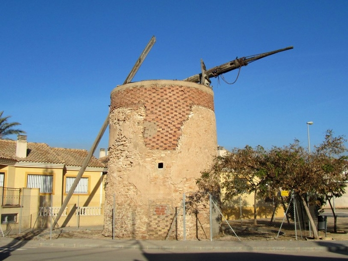
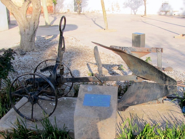 The land in this area is naturally dry and not as fertile as in other parts of the Campo de Cartagena, and agriculture therefore supported a smaller resident population, but the numerous remains of abandoned windmills which still characterize the countryside provide evidence that the area was considered worth farming. This became even truer after the advent of increased irrigation farming following the construction of the Tajo-Segura water supply canal in the second half of the 20th century, and agriculture now prospers: there are numerous fields containing, melons, broccoli, lettuce and artichokes.
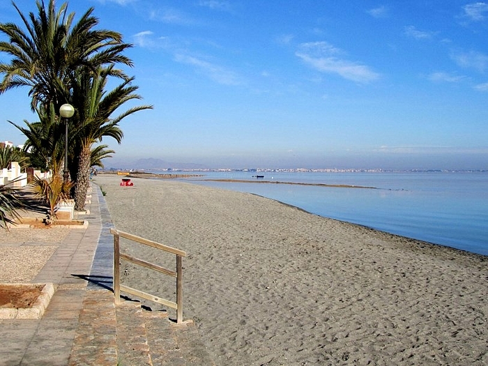 The 20th century saw military installations created on the wetlands to the north of Carmolí – this 280-hectare area still belongs to the armed forces, and is also a bird- and plant-life reserve – but apart from this little in the way of industrial development has changed the face of Lentiscar over the centuries. Instead tourism, both seasonal and residential, has come to the coastal areas of El Carmolí and Punta Brava, with the Mar Menor and the landscape providing the main thrust of economic activity alongside the now productive farmland.
Loading
article_detail
Contact Murcia Today: Editorial 966 260 896 /
Office 968 018 268

